At WiseGEEK, we're committed to delivering accurate, trustworthy information. Our expert-authored content is rigorously fact-checked and sourced from credible authorities. Discover how we uphold the highest standards in providing you with reliable knowledge.
What Is Remote Sensing Analysis?
Remote sensing analysis is the interpretation of images taken from remote locations, such as onboard an aircraft or a satellite in Earth orbit. Various imaging systems can view surfaces at different wavelengths of the light spectrum. The subsequent analysis is generally used to view an image differently than the human eye can see it. In the case of remote sensing, hyperspectral imaging is sometimes a part of analyzing multiple bandwidths of light in a picture. Images can be displayed as a type of photograph, but digital image processing is often part of remote sensing analysis because computers can interpret data quickly.
A common wavelength used with remote sensing is infrared. Water and vegetation are often distinguishable to the naked eye, but in the cases of flooding and changes to forests, visible light is sometimes not enough. An infrared picture of a forest or other area of vegetation can help gauge its health. Researchers can monitor deforestation over time by performing remote sensing analysis of images taken at different times. They can also track the state of floodplains and even determine the potential for landslides in hilly terrain.

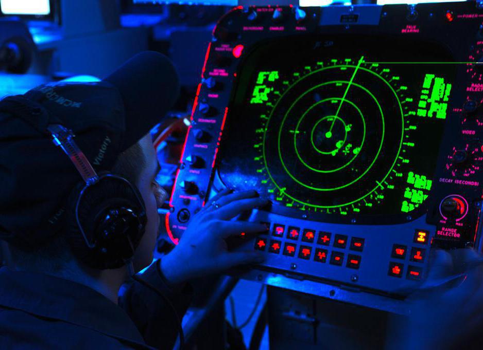
Radar images are often used to track clouds at night. Using radar, scientists can also perform remote sensing analysis of ground motion, to provide valuable information on earthquakes as well as sinking areas of land. Computer programs are often able to analyze data from images taken at different spectral wavelengths. The same multi-spectral analysis can also be applied to medicine, by imaging cells and biological tissue to diagnose infections and diseases. Such laboratory analysis can be used in conjunction with magnetic resonance imaging (MRI) scans and x-rays.

Instruments called spectrometers often aid in remote sensing analysis. These instruments are generally capable of hyperspectral imaging, meaning bands of images are scanned at different wavelengths. Such images are characterized by their physical width and how far a distance they extend. Reflected energy can be measured as well, which determines an object’s spectral response. Interpreting such data usually requires knowing how certain features radiate each wavelength of light.

Computers typically need to be able to identify objects, such as vehicles, bridges, or water, to provide adequate remote sensing analysis. The measurement techniques generally have to distinguish one object from another. With digital image processing, each pixel in the image is represented numerically as part of automatic remote sensing analysis. Images can also be viewed on a computer screen in great detail, either in black and white or in color.
AS FEATURED ON:
AS FEATURED ON:

-
![Remote sensing analysis can involve the interpretation of images taken from a spacecraft.]() By: MechanikRemote sensing analysis can involve the interpretation of images taken from a spacecraft.
By: MechanikRemote sensing analysis can involve the interpretation of images taken from a spacecraft. -
![Remote sensing technology has been adapted to work with medical devices, including MRI machines.]() By: Monkey BusinessRemote sensing technology has been adapted to work with medical devices, including MRI machines.
By: Monkey BusinessRemote sensing technology has been adapted to work with medical devices, including MRI machines. -
![Using radar, scientists can also perform remote sensing analysis of ground motion, to provide valuable information on earthquakes as well as sinking areas of land.]() By: Official U.S. Navy PageUsing radar, scientists can also perform remote sensing analysis of ground motion, to provide valuable information on earthquakes as well as sinking areas of land.
By: Official U.S. Navy PageUsing radar, scientists can also perform remote sensing analysis of ground motion, to provide valuable information on earthquakes as well as sinking areas of land.


Discuss this Article
Post your comments