At PracticalAdultInsights, we're committed to delivering accurate, trustworthy information. Our expert-authored content is rigorously fact-checked and sourced from credible authorities. Discover how we uphold the highest standards in providing you with reliable knowledge.
What Are the Different Types of Remote Sensing Jobs?
"Remote sensing" is a term used to describe the collection of information or data while a researcher and his instruments are not on site. The instruments used to collect the information are located far from the area being studied, frequently when researchers are studying the surface of the earth. Using such instruments as satellites, radar, sonar, special cameras and scanners, a person can collect data and analyze it in a wide variety of remote sensing jobs. This type of employment includes the fields of mapmaking, environmental science, hydrology, urban planning and geology, to name just a few.
Remote sensing jobs can be found in a number of different employment areas, including academia, federal and state governments, and in commercial and private sectors. There are even publishing jobs in magazines that focus exclusively on remote sensing and GIS, or a geospatial information system. Examples of remote sensing jobs include aerial photographers who help surveyors and map makers by taking photographs of the earth from a plane, and photogrammetrists who analyze the aerial photos. A GIS analyst uses graphic skills and tools to make a representation of the earth’s features. A geophysicist studies data to help detect shifts in the earth, such as major earthquakes. Remote sensing jobs also are available in the field of education, where qualified instructors will train students to enter the field.

The data collected by people who work in remote sensing jobs is used in a broad range of applications, including archeology. Archeologists today have used ground-penetrating radar to obtain a virtual layout of an unexcavated site. The military during World War I employed a type of remote sensing — aerial photography — to visually trace the route of Mesopotamia’s early canals. A modern satellite led to the discovery that the Sahara desert was formed long ago by water. Ranchers and farmers use remote sensing as well, to locate grazing areas or to pinpoint diseased crops, among other things.

Remote sensing jobs can often be found through professional organizations. There are hundreds of such organizations in many parts of the world, including Europe, Canada and the United States. Government agencies are good places to seek employment because governments frequently use the data produced by remote sensing. These types of jobs can include the fields of transportation, planning, geology and the environment. Graduate students may have more luck finding remote sensing jobs at academic institutions.
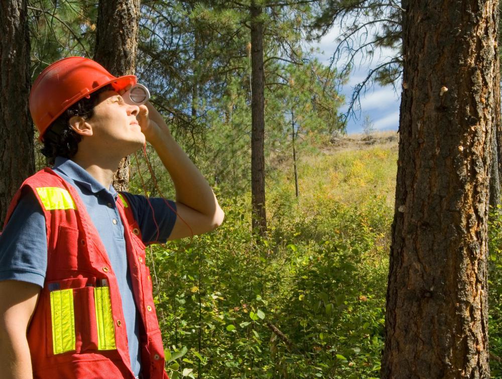
Entry-level jobs require applicants to possess a bachelor’s degree at minimum. Some colleges offer an associate’s degree program in different areas of remote sensing, such as GIS or surveying, but additional education is usually required to land a remote sensing job. A bachelor’s degree in civil engineering would be useful, as would a degree in geology or forestry.
AS FEATURED ON:
AS FEATURED ON:

-
![Radar helps collect data and analyze it.]() By: Official U.S. Navy PageRadar helps collect data and analyze it.
By: Official U.S. Navy PageRadar helps collect data and analyze it. -
![A degree in forestry may lead to a remote sensing job.]() By: TreePhotoA degree in forestry may lead to a remote sensing job.
By: TreePhotoA degree in forestry may lead to a remote sensing job.

Discuss this Article
Post your comments