At AllThingsNature, we're committed to delivering accurate, trustworthy information. Our expert-authored content is rigorously fact-checked and sourced from credible authorities. Discover how we uphold the highest standards in providing you with reliable knowledge.
What is Sea Level?
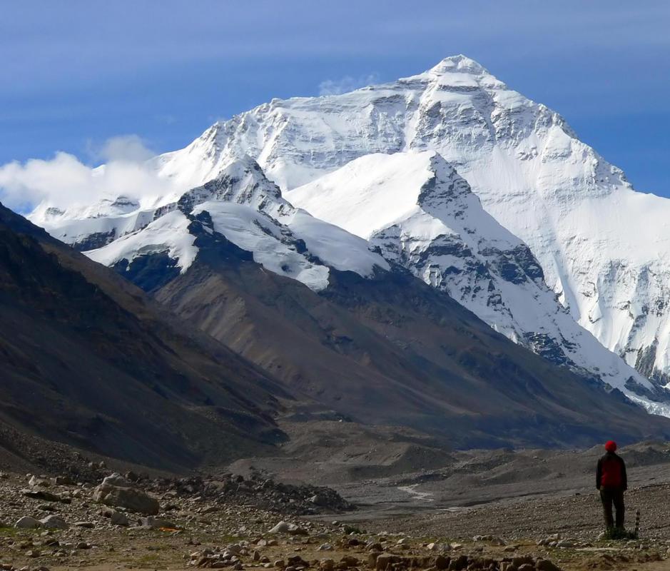
Sea level, also referred to as mean sea level, is the level at which the oceans exist when averaged between high and low tides. It is calculated by measuring the level of the ocean over extended periods of time and under all types of weather conditions. The mean is used by geographers to calculate the height or depth of any point of the Earth’s land surface, for instance the height of Mount Everest is considered to be 29,028 feet (8,848 meters) above sea level.
The actual level of the sea is constantly changing as tides rise and fall, and as surrounding winds and currents change. Other factors that cause changes include water temperature, air pressure, season of the year, the presence of ice and snow, and the amount of salt in the water. All of these widely varying factors can be completely different from place to place, therefore sea level can vary depending on where it is being measured in the world, and it is not a constant.

Mechanical tide gauges are just a small part of the complicated process that is used to determine the measurement of mean sea level. These devices measure the average height of the sea with respect to the land over a period of time, which means a change in the height of the land can also affect the measurement of the sea. They can be used independently to calculate the mean sea level of a specific location, or many tide gauges can be used simultaneously to determine the level of a large body of water.

The measurement of mean sea level has many uses. One of these is for aviation, where it is often crucial for a pilot to be able to determine his or her height above this level at any given time. Another important function of is to determine how much the sea is rising due to factors such as the melting of the polar ice caps. Mostly, it is calculated in order to determine heights of geological formations and land.

While most of the land in the world lies above sea level, there are still several places that actually exist below it. Death Valley, California, for instance, is 282 feet (85.5 meters) below sea level, and there are many other similar locations throughout the world. The Dead Sea is the lowest of these, measuring an amazing 1371 feet (418 meters) below sea level.
Frequently Asked Questions
What exactly is meant by "sea level"?

Sea level is the average height of the ocean's surface, used as a standard for measuring elevations on Earth. It's a reference point for determining land altitude and ocean depth. However, sea level isn't uniform worldwide due to factors like gravity variations, wind, and ocean currents, which can cause local and regional sea level differences.
How is sea level measured?

Sea level is measured using tide gauges and satellite altimetry. Tide gauges record the sea's rise and fall over time at specific locations, providing long-term data. Satellites measure the distance from the satellite to the sea surface, offering a comprehensive global view of sea level changes with high precision, as reported by agencies like NASA.
Why does sea level change?
Sea level changes due to several factors, including thermal expansion of water as it warms, melting of glaciers and ice sheets, and changes in land water storage. Climate change accelerates these processes, leading to a rise in global sea level. Seasonal variations and weather patterns also contribute to temporary sea level fluctuations.
What are the consequences of rising sea levels?
Rising sea levels pose significant threats, such as increased coastal flooding, loss of habitat for plants and animals, and erosion of shorelines. According to the Intergovernmental Panel on Climate Change (IPCC), sea levels could rise by up to 1.1 meters by 2100, affecting millions of people living in low-lying areas and potentially causing massive economic impacts.
Can sea level be different in different parts of the world?
Yes, sea level can vary geographically due to factors like ocean currents, variations in Earth's gravity field, atmospheric pressure, and tectonic activity. These factors can cause regional sea levels to deviate significantly from the global average, leading to phenomena such as higher sea levels in the Western Pacific compared to the Eastern Pacific.
How do scientists predict future sea level changes?
Scientists use climate models to predict future sea level changes, taking into account factors like CO2 emissions, ice sheet dynamics, and ocean temperature changes. These models simulate Earth's climate system responses to different scenarios, helping to project future sea level rise with varying degrees of confidence based on the assumptions made.
AS FEATURED ON:
AS FEATURED ON:

-
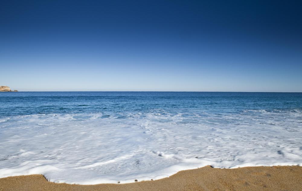
![Sea levels change with the rise and fall of tides.]() By: ikoSea levels change with the rise and fall of tides.
By: ikoSea levels change with the rise and fall of tides. -
![Mt. Everest is almost 30,000 feet above sea level.]() By: QiangBa DanZhenMt. Everest is almost 30,000 feet above sea level.
By: QiangBa DanZhenMt. Everest is almost 30,000 feet above sea level. -
![A map of the polar ice caps, which can cause the sea level to rise if they melt.]() By: Lunar and Planetary InstituteA map of the polar ice caps, which can cause the sea level to rise if they melt.
By: Lunar and Planetary InstituteA map of the polar ice caps, which can cause the sea level to rise if they melt. -
![California's Death Valley is 282 feet below sea level.]() By: Paul LemkeCalifornia's Death Valley is 282 feet below sea level.
By: Paul LemkeCalifornia's Death Valley is 282 feet below sea level. -
![The Dead Sea lies 1371 feet below sea level.]() By: Victor BThe Dead Sea lies 1371 feet below sea level.
By: Victor BThe Dead Sea lies 1371 feet below sea level.


Discussion Comments
what are the reasons why Tuguegarao City is the hottest place in the Philippines? where is the reference to sea level?
Cebu City lies at about 2950 feet above mean sea level.
On a side note, I have heard that Cebu City is a beautiful place. I grew up with a girl in Hawaii, and her parents were originally from the Philippines. Her grandparents still live in the Philippines, and they are from some island just off the coast of Cebu City. I recognized Cebu City, so I took the opportunity to research your question.
how much is the correct sea level measurement here in cebu city philippines?
Post your comments