At EasyTechJunkie, we're committed to delivering accurate, trustworthy information. Our expert-authored content is rigorously fact-checked and sourced from credible authorities. Discover how we uphold the highest standards in providing you with reliable knowledge.
What are the Different Types of GIS Applications?
A geographic information system (GIS) is a software program that collects, stores, and analyses geographically referenced data. It is a powerful analytical and decision-making tool being used in many industries including commercial, education, and government. The various types of GIS applications are nearly limitless. It has been used for everything from mapping wildlife habitat to tracking climate change to providing fire departments with the quickest route to the fire.
In the field of transportation, GIS applications can help people study traffic patterns and plan street construction or repairs. These applications are particularly useful in helping drivers find the quickest routes, whether they be for delivering packages or aiding in fire and emergency services response. There are GIS applications that help trucking companies or regional delivery businesses manage their fleet of vehicles and provide the best and most efficient vehicle routes.

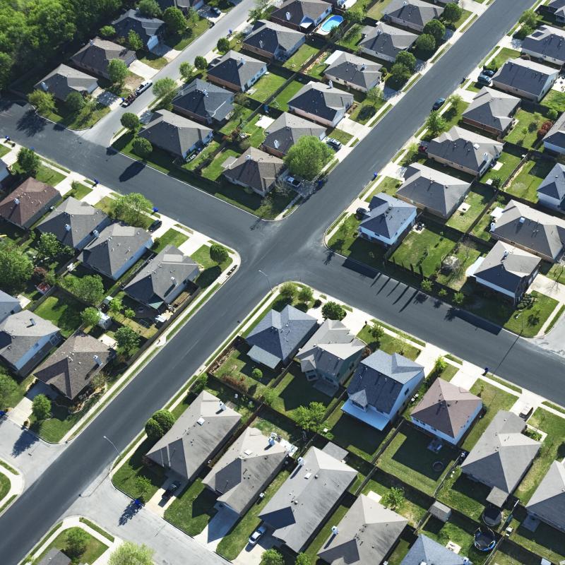
Regional and urban planning is one of the most common types of GIS applications. Planners can use GIS to study roads and traffic patterns, education and other public facilities locations, utilities infrastructure and waterways, and zoning and housing areas. Combining this data with mapping data helps them analyze needs and plan for future development. In the commercial sector, business planners can use demographic data, business location data, zoning data, and transportation and utility data to determine the best location for a planned new business.

In the mining and petroleum industry, the process of locating and extracting oil and mineral deposits is often benefited by the use of GIS technology. Geologists and mining professionals can analyze the topography, geology, vegetation, and hydrology around the mining operation to mitigate environmental impact. This can also help mining companies operate more efficiently and safely.

GIS has hundreds of uses in the field of environmental management. It is used to study foresting practices, land use and land cover, wetlands management, and environmental phenomena. It is also used to study groundwater purity, air quality, and the effects of air and water pollution. One important application of GIS in environmental management is in tracking forest fires to better coordinate firefighting efforts.
In the fields of farming and agriculture, GIS professionals can use the technology to look at agriculture records and area hydrography to study water and irrigation needs. It can also analyze soil types and weather patterns. This can help better determine fertilizer and pesticide needs, as well as fertilizer and pesticide runoff into the adjacent waterways.
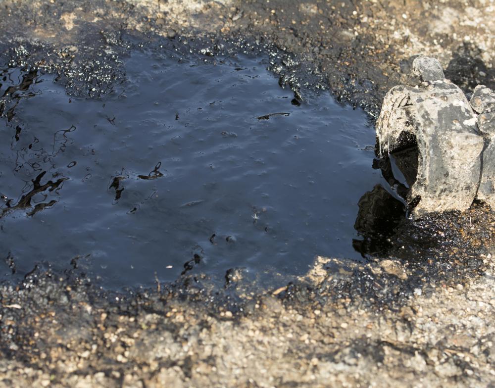
GIS applications in the area of disaster preparedness and recovery help researchers and planners study environmental phenomena such as earthquakes and fault lines, hurricanes and tornadoes, flood plains, and other potential emergency situations to identify potential hazards and vulnerabilities. One example of how GIS can benefit disaster recovery is in oil spill mitigation. By combining satellite imagery, aerial photography and underwater photography, weather patterns, and ocean currents, scientists can follow and predict the spread of the spilled oil. With such information, disaster recovery personnel can better prepare for and respond to the crisis.
AS FEATURED ON:
AS FEATURED ON:

-
![A neighborhood planned by using GIS applications.]() By: iofotoA neighborhood planned by using GIS applications.
By: iofotoA neighborhood planned by using GIS applications. -
![Some GIS applications are used to help manage wetlands.]() By: ElenathewiseSome GIS applications are used to help manage wetlands.
By: ElenathewiseSome GIS applications are used to help manage wetlands. -
![GIS data is often used to respond to disasters like oil spills.]() By: Deviant FtGIS data is often used to respond to disasters like oil spills.
By: Deviant FtGIS data is often used to respond to disasters like oil spills.

Discuss this Article
Post your comments